High-resolution borehole imaging precisely identifies the geological characteristics of the borehole. This application covers a wide range of structural and sedimentological features of the borehole with any fractures or faults within the borehole wall. It is important to be aware of, and be able to analyze and evaluate the borehole condition as it greatly affects reservoir performance.
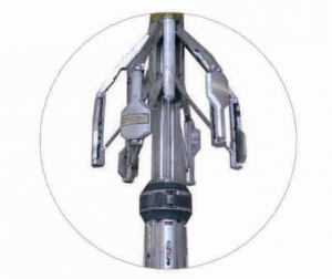
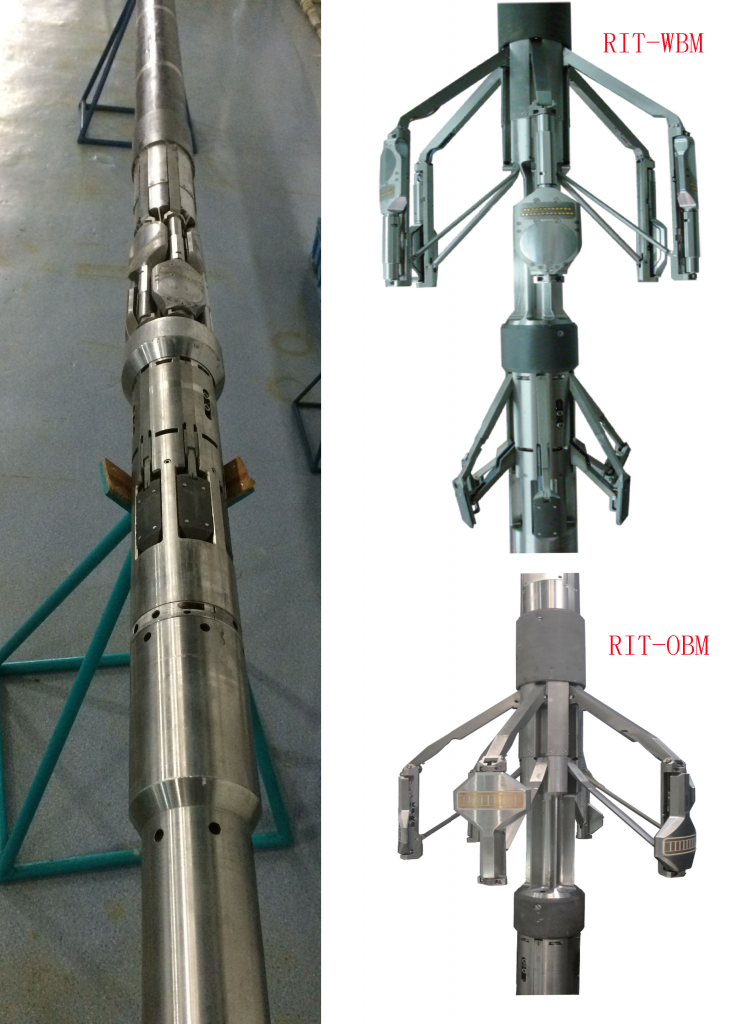
The Hexapod Resistivity Imaging Tool (HRIT) measures the conductivity of the formation. Data is presented in high-resolution images from which geological information is derived such as fractures, bedding, stratigraphy, dip information, depositional environments, etc. The tool also provides the best geometric definition of the borehole by utilizing six independent mechanical calipers. The latest iteration of the tool, the new HRIT-X, obtains superior quality images even in high Rt:Rm environments. Its expanded operating range is achieved through its new, state-of-art, 32 bit digital signal acquisition architecture combined with a large increase in available power for the excitation current.


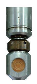
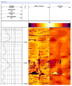
The Ultrasonic Imaging Tool is an acoustic tool designed to produce detailed images of the formation wall. The USI pulse-echo transducer emits a high frequency acoustic pulse and measures amplitude and the time of flight of the reflected wave. The amplitude of the wave is affected by variations in the borehole surface. The travel time is indicative of the distance from transducer to the wellbore wall. The acoustic transducer is mounted on a rotating section, allowing the USI to scan a full 360 degrees of the wellbore producing two images or maps.

